Raskuporis Cove

Raskuporis Cove (Bulgarian: залив Раскупорис, ‘Zaliv Raskuporis’ \'za-liv ras-ku-'po-ris\) is the 1.77 km wide cove indenting for 700 m the south coast of Byers Peninsula on Livingston Island in the South Shetland Islands, Antarctica. Entered west of Sevar Point and east of Devils Point, and connected to Osogovo Bay to the northwest by the 20 m wide passage of Hell Gates.
The cove is named after King Raskuporis of Thrace, 48-42 BC.
Location
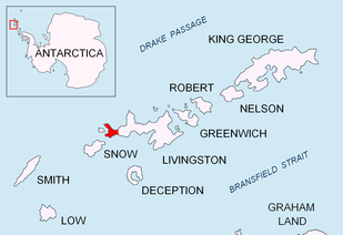
Raskuporis Cove is located at 62°40′25″S 61°09′43″W / 62.67361°S 61.16194°WCoordinates: 62°40′25″S 61°09′43″W / 62.67361°S 61.16194°W. British mapping in 1968, Spanish in 1993 and Bulgarian in 2009.
Maps
- Península Byers, Isla Livingston. Mapa topográfico a escala 1:25000. Madrid: Servicio Geográfico del Ejército, 1992.
- L.L. Ivanov. Antarctica: Livingston Island and Greenwich, Robert, Snow and Smith Islands. Scale 1:120000 topographic map. Troyan: Manfred Wörner Foundation, 2009. ISBN 978-954-92032-6-4
References
- Raskuporis Cove. SCAR Composite Gazetteer of Antarctica.
- Bulgarian Antarctic Gazetteer. Antarctic Place-names Commission. (details in Bulgarian, basic data in English)
This article includes information from the Antarctic Place-names Commission of Bulgaria which is used with permission.