Rampura, Nagaur
| Rampura | |
|---|---|
| village | |
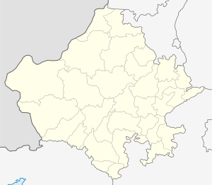
 Rampura Location in Rajasthan, India  Rampura Rampura (India) | |
| Coordinates: 27°08′N 74°31′E / 27.14°N 74.51°ECoordinates: 27°08′N 74°31′E / 27.14°N 74.51°E | |
| Country |
|
| State | Rajasthan |
| District | Nagaur |
| Elevation | 486 m (1,594 ft) |
| Population (2001) | |
| • Total | 7,000 |
| Languages | |
| • Official | Hindi |
| Time zone | UTC+5:30 (IST) |
| PIN | 341508 |
| Telephone code | 01586 |
| ISO 3166 code | IN-RJ |
| Website |
uq |
Rampura is a village located in the Nagaur district of Rajasthan state, India.
The native language of Rampura is Hindi and Marwari language is also used. The nearest railway station in and around Rampura is Narayanpura, Kuchaman. Nearest airport to Rampura is at Jaipur.
General information
- Religion: 100% of population are Hindus
- Geographical Location: 15 km from Kuchaman City
- Temperature: Max. 44 °C in June, Min. 1 °C in January
- Monsoon Season: June to July
- Annual Rainfall: 418 mm
References
This article is issued from
Wikipedia.
The text is licensed under Creative Commons - Attribution - Sharealike.
Additional terms may apply for the media files.