Rainforests of the Atsinanana
| UNESCO World Heritage site | |
|---|---|
 | |
| Location | Madagascar |
| Criteria | Natural: (ix), (x) |
| Reference | 1257 |
| Inscription | 2007 (31st Session) |
| Endangered | 2010–... |
| Area | 479,660.7 ha (1,185,267 acres) |
| Coordinates | 14°27′35″S 49°42′9″E / 14.45972°S 49.70250°ECoordinates: 14°27′35″S 49°42′9″E / 14.45972°S 49.70250°E |
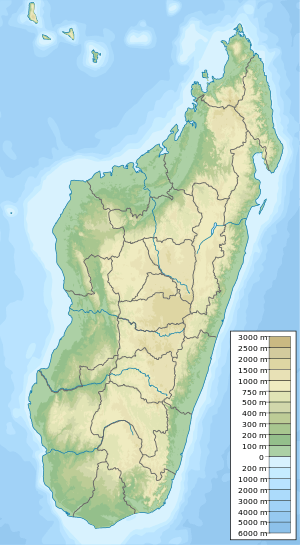 Location of Rainforests of the Atsinanana in Madagascar 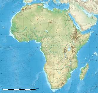 Rainforests of the Atsinanana (Africa) 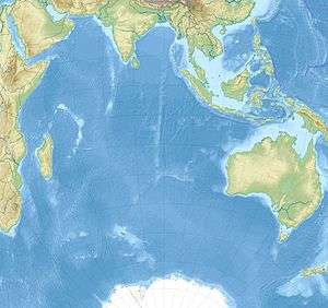 Rainforests of the Atsinanana (Indian Ocean) | |
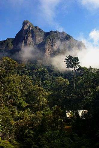
The Rainforests of the Atsinanana is a World Heritage Site that was inscribed in 2007 and consists of 13 specific areas in six national parks in the eastern part of Madagascar:
- Marojejy National Park
- Masoala National Park
- Zahamena National Park
- Ranomafana National Park
- Andringitra National Park
- Andohahela National Park
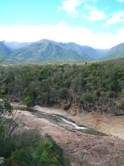
The Rainforests of the Atsinanana are distributed along the eastern part of the island. These relict forests are critically important for maintaining ongoing ecological processes necessary for the survival of Madagascar’s unique biodiversity, which reflects the island’s geological history. Having completed its separation from all other land masses more than 60 million years ago, Madagascar’s plant and animal life evolved in isolation. The rainforests are inscribed for their importance to both ecological and biological processes as well as their biodiversity and the threatened species they support. Many species are rare and threatened especially lemurs and other primates.
See also
References
External links
- UNESCO description of the parks.
- Rainforests of the Atsinanana – World Heritage Site
- "Africa, Rainforests of the Atsinanana, Madagascar" . UNESCO Organization.