Račak
Račak (Albanian: Reçak; serbian: Рачак/Račak) is a village in the Štimlje municipality of Kosovo. It became notorious in January 1999 after at least 45 villagers were killed.
Geography
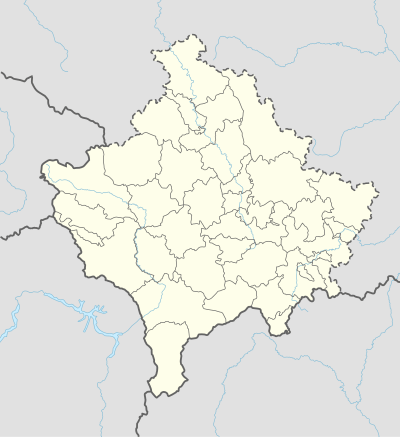
Račak is a village in Kosovo, about half an kilometer southwest of Štimlje. The village lays on the Crnoljeva-mountain range. This mountain range divides the Kosovo field and Metohija.
Climate
| Climate data for Zhur/Žur (1982-2012) | |||||||||||||
|---|---|---|---|---|---|---|---|---|---|---|---|---|---|
| Month | Jan | Feb | Mar | Apr | May | Jun | Jul | Aug | Sep | Oct | Nov | Dec | Year |
| Average high °C | 2.4 | 5.1 | 10.4 | 15 | 20 | 23.7 | 26.2 | 26.4 | 22.8 | 16.3 | 8.4 | 3.7 | 15 |
| Average low °C | −4.1 | −2.5 | 0.9 | 4.6 | 8.7 | 11.9 | 13.5 | 13.3 | 10.3 | 6.1 | 1.4 | −2.4 | 5.1 |
| Average rainfall mm | 64 | 57 | 59 | 63 | 79 | 60 | 52 | 47 | 58 | 69 | 84 | 76 | 768 |
| Average high °F | 36.3 | 41.2 | 50.7 | 59 | 68 | 74.7 | 79.2 | 79.5 | 73 | 61.3 | 47.1 | 38.7 | 59.1 |
| Average low °F | 24.6 | 27.5 | 33.6 | 40.3 | 47.7 | 53.4 | 56.3 | 55.9 | 50.5 | 43 | 34.5 | 27.7 | 41.2 |
| Average rainfall inches | 2.52 | 2.24 | 2.32 | 2.48 | 3.11 | 2.36 | 2.05 | 1.85 | 2.28 | 2.72 | 3.31 | 2.99 | 30.23 |
| Source: [1] | |||||||||||||
Population
| Year | Population |
|---|---|
| 1948 | 613 |
| 1953 | 675 |
| 1961 | 865 |
| 1971 | 1092 |
| 1981 | 1464 |
| 1991 | 1766 |
| 2011 | 1638 |
Račak has a population of 1,638(census 2011). Of these 1629 are Albanians, one as a Bosniak and eight did not answer.[3]
Religion
Račak massacre
Prior to the summer of 1998, Račak had a population of around 2,000 people. Most of its population was displaced by fighting between paramilitary extremist Serb forces and soldiers from the Kosovo Liberation Army in July 1998. By January 1999, about 350 people had returned to the village, according to the Organization for Security and Co-operation in Europe (OSCE). On 16 January 1999, OSCE monitors found the bodies of 45 people in and around the village in what became widely known as the Racak massacre. Following the incident, for which the international community blamed the Serbian military, the remaining population fled and did not return until the end of the Kosovo War in June 1999.
References and links
- ↑ "Klima & Wetter in REÇAK". Climate-Data.org. Retrieved May 31, 2017.
- ↑ Tim Bespyatov. "Kosovo Census". Retrieved May 30, 2017.
- ↑ Tim Bespyatov. "Ethnic composition of Kosovo 2011". Retrieved May 30, 2017.
- ↑ Tim Bespyatov. "Religious composition of Kosovo 2011". Retrieved May 30, 2017.
- Complete analysis of the incident at Račak on Jan. 15, 1999, Yugoslavia Info
- Kosovo/Kosova As Seen, As Told - OSCE, May 1999
- "Massacre haunts returning Kosovo villagers", The Atlanta Constitution, June 15, 1999
- "Kosovo village struggles in limbo a year later", Associated Press, March 19, 2000