RAF Southrop
| RAF Southrop | |||||||||||||||||||
|---|---|---|---|---|---|---|---|---|---|---|---|---|---|---|---|---|---|---|---|
| Summary | |||||||||||||||||||
| Airport type | Military | ||||||||||||||||||
| Operator | Royal Air Force | ||||||||||||||||||
| Location | Southrop, Gloucestershire | ||||||||||||||||||
| Built | 1940 | ||||||||||||||||||
| In use | 1940-1947 | ||||||||||||||||||
| Coordinates | 51°43′50″N 001°44′24″W / 51.73056°N 1.74000°WCoordinates: 51°43′50″N 001°44′24″W / 51.73056°N 1.74000°W | ||||||||||||||||||
| Map | |||||||||||||||||||
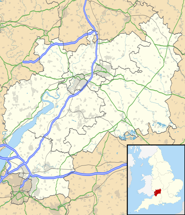 RAF Southrop Location in Gloucestershire | |||||||||||||||||||
| Runways | |||||||||||||||||||
| |||||||||||||||||||
RAF Southrop was a Royal Air Force station west of the village of Southrop, Gloucestershire during World War II from August 1940 to November 1947.
It was used as a Relief Landing Ground for Airspeed Oxford and Harvard training aircraft for No. 23 Group RAF.
Runways
Grass runways:
- 04/22 - 3060 ft
- 14/32 - 2790 ft
- Due East/West - 3450 ft
References
External links
Royal Air Force portal | ||
| Formations and units |  | |
| Branches and components | ||
| Reserve forces | ||
| Associated civil organisations | ||
| Equipment | ||
| Personnel | ||
| Appointments | ||
| Symbols and uniform | ||
This article is issued from
Wikipedia.
The text is licensed under Creative Commons - Attribution - Sharealike.
Additional terms may apply for the media files.