Postage stamps and postal history of Benin
This is a survey of the postage stamps and postal history of Benin.
Located in West Africa, Benin borders Togo to the west, Nigeria to the east and Burkina Faso and Niger to the north; its short coastline to the south leads to the Bight of Benin. Benin is just over 110000 km2 in size with a population of almost 8,500,000. Its capital is the city of Porto-Novo but the seat of government is the city of Cotonou.
French colony
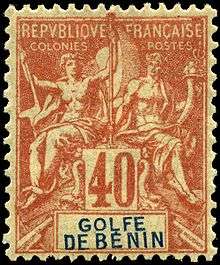
Benin's first stamps were French colonial stamps used at Porto Novo from 1888.[1] Stamps were issued in 1892 for French colonies on the coast of the Bight of Benin called the Établissments du Golfe de Benin. [2]
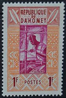
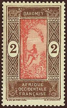
Stamps inscribed Dahomey were issued between 1899 and 1942. Stamps of French West Africa were then used until independence in 1960, when stamps inscribed Dahomey were again issued. The country name was changed to Benin in 1975.
See also
References
- ↑ Rossiter, Stuart & John Flower. The Stamp Atlas. London: Macdonald, 1986, pp.319-320. ISBN 0-356-10862-7
- ↑ http://web.archive.org/web/20180303055223/http://www.stampworldhistory.com:80/country-profiles-2/africa/benin/ Retrieved 12 August 2018.
| Wikimedia Commons has media related to Stamps of Benin. |
External links
- The France & Colonies Philatelic Society of Great Britain.
- Benin: The Provisional Surcharges 1986-1996 Archived here.