Podvis Col
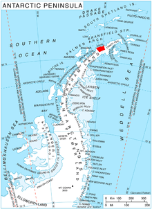
Location of Davis Coast.
Podvis Col (Bulgarian: седловина Подвис, ‘Sedlovina Podvis’ \se-dlo-vi-'na 'pod-vis\) is the ice-covered col of elevation 1494 m on Davis Coast in Graham Land, Antarctica, extending 1.6 km between Korten Ridge to the northwest, and Tsarevets Buttress and Detroit Plateau to the southeast. It is overlooking Sabine Glacier to the north and Temple Glacier to the southwest.
The col is named after the settlement of Podvis in Southeastern Bulgaria.
Location
Podvis Col is centred at 63°58′51″S 59°46′39″W / 63.98083°S 59.77750°WCoordinates: 63°58′51″S 59°46′39″W / 63.98083°S 59.77750°W. German-British mapping in 1996.
Map
- Trinity Peninsula. Scale 1:250000 topographic map No. 5697. Institut für Angewandte Geodäsie and British Antarctic Survey, 1996.
References
- SCAR Composite Antarctic Gazetteer.
- Bulgarian Antarctic Gazetteer. Antarctic Place-names Commission. (details in Bulgarian, basic data in English)
This article includes information from the Antarctic Place-names Commission of Bulgaria which is used with permission.
This article is issued from
Wikipedia.
The text is licensed under Creative Commons - Attribution - Sharealike.
Additional terms may apply for the media files.