Peeplu
| Peeplu | |
|---|---|
| village | |
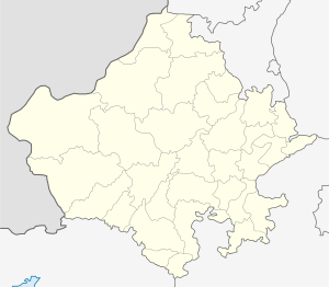
 Peeplu Location in Rajasthan, India  Peeplu Peeplu (India) | |
| Coordinates: 26°18′05″N 75°42′40″E / 26.3014936°N 75.7109746°ECoordinates: 26°18′05″N 75°42′40″E / 26.3014936°N 75.7109746°E | |
| Country |
|
| State | Rajasthan |
| District | Jaipur |
| Population (2009) | |
| • Total | 8,000 |
| Languages | |
| • Official | Hindi |
| PIN | 303907 |
Peeplu is a tehsil in Tonk district, Rajasthan, India. It is 20km from National Highway 12, 70km from Jaipur, and 18km from tonk district headquarters. As of 2009, Peeplu village is also a gram panchayat. The total geographical area of village is 1738.49 hectares. There are about 1,365 houses in Peeplu village. Peeplu contains several historical locations, including bagri fort, kedarnath mandir, and shivalaya.
This article is issued from
Wikipedia.
The text is licensed under Creative Commons - Attribution - Sharealike.
Additional terms may apply for the media files.