Pawala Valley Ridge
| Pawala Valley Ridge | |
|---|---|
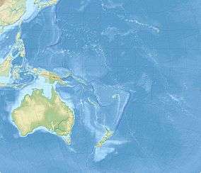 Pawala Valley Ridge Map of Oceania | |
| Highest point | |
| Elevation | 347 m (1,138 ft) |
| Prominence | 347 m (1,138 ft) |
| Coordinates | 25°4′6″S 130°6′48″W / 25.06833°S 130.11333°WCoordinates: 25°4′6″S 130°6′48″W / 25.06833°S 130.11333°W |
| Geography | |
| Location | Pitcairn Islands |
| Topo map | Pawala Valley Ridge |
Pawala Valley Ridge, is the highest point of the Pitcairn Islands, a British overseas territory in the Pacific Ocean, with an elevation of 347 metres (1,138 ft).
See also
External links
- (in English) Pawala Valley Ridge, Pitcairn Island, Peakbagger.com.
This article is issued from
Wikipedia.
The text is licensed under Creative Commons - Attribution - Sharealike.
Additional terms may apply for the media files.