Pacheco Island
| Native name: Isla Pacheco | |
|---|---|
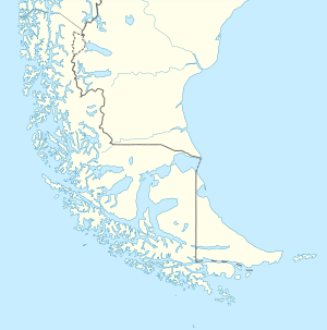 Pacheco Island Overview map with Pacheco Island (red point) at the western mouth of the Strait of Magellan | |
| Geography | |
| Coordinates | 52°15′06″S 74°46′26″W / 52.251548°S 74.774022°WCoordinates: 52°15′06″S 74°46′26″W / 52.251548°S 74.774022°W |
| Archipelago | Queen Adelaide Archipelago |
| Adjacent bodies of water | Pacific ocean |
| Area | 156.8 km2 (60.5 sq mi) |
| Coastline | 91.9 km (57.1 mi) |
| Administration | |
| Region | Magallanes y la Antártica Chilena |
| Additional information | |
| NGA UFI=-894547 | |
Pacheco Island is an island between Vidal Gomez Island and Victoria Island at the north shore of the West entrance of the Strait of Magellan in Chile.
See also
External links
- Islands of Chile @ United Nations Environment Programme
- World island information @ WorldIslandInfo.com
- South America Island High Points above 1000 meters
- United States Hydrographic Office, South America Pilot (1916)
This article is issued from
Wikipedia.
The text is licensed under Creative Commons - Attribution - Sharealike.
Additional terms may apply for the media files.