Olustee, Florida
| Olustee, Florida | |
|---|---|
| Unincorporated community | |
 | |
 Olustee, Florida | |
| Coordinates: 30°12′15″N 82°25′43″W / 30.20417°N 82.42861°W | |
| Country | United States |
| State | Florida |
| County | Baker |
| Elevation | 161 ft (49 m) |
| Time zone | UTC-5 (Eastern (EST)) |
| • Summer (DST) | UTC-4 (EDT) |
| Area code(s) | 904 |
| GNIS feature ID | 306156[1] |
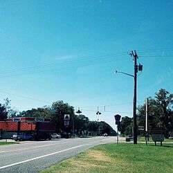
Olustee is an unincorporated community in Baker County, Florida, United States. The name "Olustee" is from the nearby Olustee Creek whose name derives from the Creek (Muscogee) language ue-lvste (/oy-lást-i/) meaning "black water".[2] The town was historically known as Olustee Station and is the location of the Olustee Battlefield Historic State Park and of the ranger station for the Osceola National Forest, which is headquartered there. The US Forest Service has restored the former railroad depot at the center of town as a visitor center and museum for forest visitors.
Geography
Olustee is located at 30°12′14″N 82°25′44″W / 30.20389°N 82.42889°WCoordinates: 30°12′14″N 82°25′44″W / 30.20389°N 82.42889°W (30.20389, -82.42889).[3]
References
- ↑ "Olustee". Geographic Names Information System. United States Geological Survey.
- ↑ Jack B. Martin. "From Tallahassee To Tulsa: Creek Place-Names in the American South". College of William and Mary, 2002. Retrieved 15 February 2014.
- ↑ "US Gazetteer files: 2010, 2000, and 1990". United States Census Bureau. 2011-02-12. Retrieved 2011-04-23.
External links
Municipalities and communities of Baker County, Florida, United States | ||
|---|---|---|
| City | 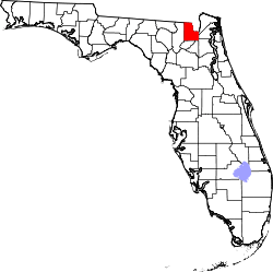 | |
| Town | ||
| Unincorporated communities | ||
This article is issued from
Wikipedia.
The text is licensed under Creative Commons - Attribution - Sharealike.
Additional terms may apply for the media files.