Akuliarutsip Sermerssua
| Akuliarutsip Sermerssua | |
|---|---|
| Nordenskiold Glacier | |
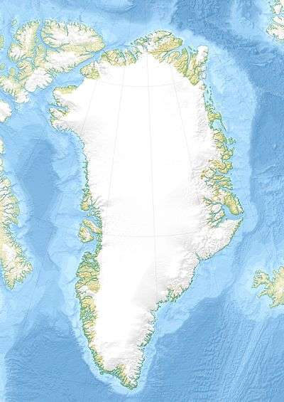
 Location within Greenland | |
| Location | Greenland |
| Coordinates | 73°3′N 28°13′W / 73.050°N 28.217°WCoordinates: 73°3′N 28°13′W / 73.050°N 28.217°W |
| Area | 62,647 km (38,927 mi) |
| Terminus | Greenland Sea |
Akuliarutsip Sermerssua, also known as Nordenskiold Glacier, (Danish: Nordenskiöld Gletscher), is a large glacier located on the east coast of Greenland.
Geography
This glacier marks the southern limit of Fraenkel Land and Goodenoughland.
It drains an area of 62,647 km (38,927 mi) of the Greenland Ice Sheet with a flux (quantity of ice moved from the land to the sea) of 10.7 km3 (2.6 cu mi) per year, as measured for 1996.[1]
See also
References
This article is issued from
Wikipedia.
The text is licensed under Creative Commons - Attribution - Sharealike.
Additional terms may apply for the media files.