Nicoya Airport
| Nicoya Airport | |||||||||||
|---|---|---|---|---|---|---|---|---|---|---|---|
| Summary | |||||||||||
| Airport type | Public | ||||||||||
| Operator | Dirección General de Aviación Civil | ||||||||||
| Serves | Nicoya | ||||||||||
| Elevation AMSL | 120 m / 394 ft | ||||||||||
| Coordinates | 10°08′22″N 085°26′44″W / 10.13944°N 85.44556°WCoordinates: 10°08′22″N 085°26′44″W / 10.13944°N 85.44556°W | ||||||||||
| Map | |||||||||||
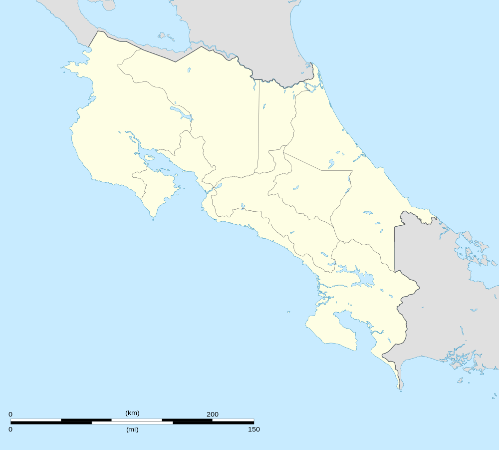
 MRNC Location in Costa Rica | |||||||||||
| Runways | |||||||||||
| |||||||||||
| Statistics (2014) | |||||||||||
| |||||||||||
Nicoya Airport (IATA: NCT, ICAO: MRNC) is an airport in Costa Rica, serving the city of Nicoya in Guanacaste Province. The airport is owned and managed by the country's Directorate General of Civil Aviation and it has a 963 meters long airstrip plus very basic infrastructure to receive small airplanes and passengers.
Although Nicoya Airport serves the main city in Nicoya Peninsula, there are no scheduled domestic nor international services to the airport.
Passenger Statistics
These data show number of passengers movements into the airport, according to the Directorate General of Civil Aviation of Costa Rica's Statistical Yearbooks.
| Year | 2008 | 2009 | 2010 | 2011 | 2012 | 2013 | 2014 | 2015 |
|---|---|---|---|---|---|---|---|---|
| Passengers | 129 | 112 | 110 | 106 | 131 | 98 | 96 | T.B.A. |
| Growth (%) | T.B.A. | |||||||
| Source: Costa Rica's Directorate General of Civil Aviation (DGAC). Statistical Yearbooks (Years 2008,[3] 2009,[4] 2010,[5] 2011,[6] 2012,[7] 2013,[8] and 2014[2]) | ||||||||
| Year | 2000 | 2001 | 2002 | 2003 | 2004 | 2005 | 2006 | 2007 |
|---|---|---|---|---|---|---|---|---|
| Passengers | N.D. | N.D. | 30 | 172 | 190 | 144 | 348 | 299 |
| Growth (%) | N.D. | N.D. | N.D. | |||||
| Source: Costa Rica's Directorate General of Civil Aviation (DGAC). Statistical Yearbooks (Years 2000-2005,[9] 2006,[10] and 2007,[11]) | ||||||||
References
- ↑ Aeronautical Information Publication (AIP) of Costa Rica, Section III (Airstrips) Archived 2016-03-04 at the Wayback Machine.
- 1 2 DGAC. Anuario Estadístico del Transporte Aéreo, 2014 Archived 2016-03-04 at the Wayback Machine.
- ↑ DGAC. Anuario Estadístico del Transporte Aéreo, 2008 Archived 2016-03-04 at the Wayback Machine.
- ↑ DGAC. Anuario Estadístico del Transporte Aéreo, 2009 Archived 2016-01-25 at the Wayback Machine.
- ↑ DGAC. Anuario Estadístico del Transporte Aéreo, 2010 Archived 2016-03-04 at the Wayback Machine.
- ↑ DGAC. Anuario Estadístico del Transporte Aéreo, 2011 Archived 2016-03-04 at the Wayback Machine.
- ↑ DGAC. Anuario Estadístico del Transporte Aéreo, 2012 Archived 2016-03-04 at the Wayback Machine.
- ↑ DGAC. Anuario Estadístico del Transporte Aéreo, 2013 Archived 2016-03-04 at the Wayback Machine.
- ↑ Oficina de Planificación, Dirección General de Aviación Civil de Costa Rica
- ↑ DGAC. Anuario Estadístico del Transporte Aéreo, 2006 Archived 2016-01-25 at the Wayback Machine.
- ↑ DGAC. Anuario Estadístico del Transporte Aéreo, 2007 Archived 2016-01-26 at the Wayback Machine.
This article is issued from
Wikipedia.
The text is licensed under Creative Commons - Attribution - Sharealike.
Additional terms may apply for the media files.