Naqada
| Naqada | |
|---|---|
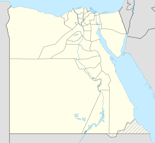 Naqada Location in Egypt | |
| Coordinates: 25°54′N 32°43′E / 25.900°N 32.717°E | |
| Country |
|
| Governorate | Qena Governorate |
| Time zone | UTC+2 (EST) |
| • Summer (DST) | +3 |
| Naqada in hieroglyphs |
|---|
_II_on_right_arm._From_the_temple_of_Seth_at_Naqqada%2C_Egypt._The_Petrie_Museum_of_Egyptian_Archaeology%2C_London.jpg)
Naqada is a town on the west bank of the Nile in Qena Governorate, Egypt. It was known in Egyptian as nbwt, which became Coptic Ⲉⲙⲃⲱ (ǝmbō), which was borrowed as classical antiquity as Ombos /ˈɒmˌbɒs/. Its name derives from Egyptian nbw, meaning "gold", on account of the proximity of gold mines in the Eastern Desert.
History
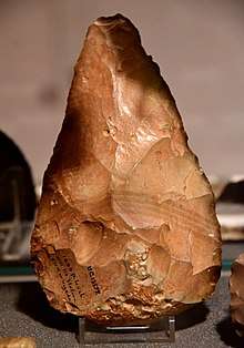
Naqada comprises some villages such as Tukh, Khatara, Danfiq and Zawayda. It stands near the site of a necropolis from prehistoric Egypt around 4400–3000 BCE. Naqada has given its name to the widespread Naqada culture, which existed at the time here and at other sites, including el Badari, the Gerzeh culture and Nekhen. The large quantity of remains from Naqada have enabled the dating of the entire culture, throughout Egypt and environs.
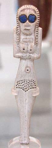
The town was the centre of the cult of Set and large tombs were built there around c. 3500 BC.[1]
The town is one of few to have had a Coptic majority in 1960.[2]
See also
References
- ↑ Rice, Michael (2003). Egypt's Making: The Origins of Ancient Egypt 5000-2000 BC. Taylor & Francis. p. 75. ISBN 978-0-203-42816-0.
- ↑ Descrepancies Between Coptic Statistics
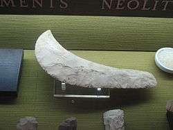 Sickle made of flint, Egypt, Naqada period, end of the fourth millennium BC, Dagon Museum, Haifa
| Wikimedia Commons has media related to Naqada. |