Cordillera de Nahuelbuta
| Cordillera de Nahuelbuta | |
|---|---|
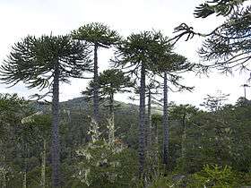 Araucaria araucana forest | |
| Highest point | |
| Peak | Alto Nahuelbuta |
| Elevation | 1,565 m (5,135 ft) |
| Geography | |
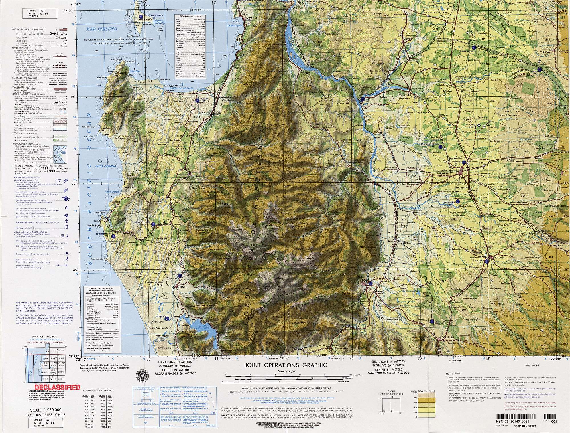 Map of the Nahuelbuta region
| |
| Country | Chile |
| State/Province | Bío Bío Region, La Araucanía Region |
| Range coordinates | 37°43′S 73°02′W / 37.717°S 73.033°WCoordinates: 37°43′S 73°02′W / 37.717°S 73.033°W |
| Parent range | Cordillera de la costa |
The Nahuelbuta Range or Cordillera de Nahuelbuta (Spanish pronunciation: [nawelˈβuta]) is a mountain range in Bio-Bio and Araucania Region, southern Chile. It is located along the Pacific coast and forms part of the larger Chilean Coast Range. The name of the range derives from the Mapudungun words nahuel (jaguar) and futa (big)
Historically Cordillera de Nahuelbuta and its surrounding valleys were the foci of the Arauco War. The Spanish designs for this region was to exploit the placer deposits of gold around the range using unfree Mapuche labour from the densely populated valleys. For this purpouse the Spanish established a series of settlements and fortified houses around Cordillera de Nahuelbuta.[1]
See also
References
- ↑ Zavala C., José Manuel (2014). "The Spanish-Araucanian World of the Purén and Lumaco Valley in the Sixteenth and Seventeenth Centuries". In Dillehay, Tom. The Teleoscopic Polity. Springer. pp. 55–73. ISBN 978-3-319-03128-6.
This article is issued from
Wikipedia.
The text is licensed under Creative Commons - Attribution - Sharealike.
Additional terms may apply for the media files.