N'zeto Airport
| N'Zeto/Ambrizete Airport | |||||||||||
|---|---|---|---|---|---|---|---|---|---|---|---|
| Summary | |||||||||||
| Airport type | Private | ||||||||||
| Serves | N'Zeto | ||||||||||
| Elevation AMSL | 69 ft / 21 m | ||||||||||
| Coordinates | 7°15′25″S 12°51′50″E / 7.25694°S 12.86389°ECoordinates: 7°15′25″S 12°51′50″E / 7.25694°S 12.86389°E | ||||||||||
| Map | |||||||||||
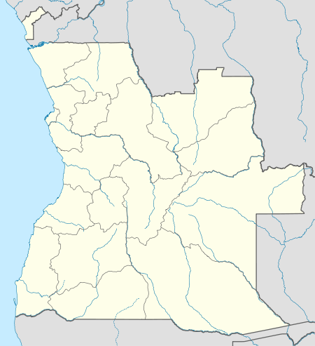 FNZE Location of N'Zeto/Ambrizete Airport in Angola | |||||||||||
| Runways | |||||||||||
| |||||||||||
N'zeto Airport (IATA: ARZ, ICAO: FNZE) is an airport serving N'zeto, a town in Zaire Province, Angola. The runway is 2.5 kilometres (1.6 mi) south of the town, along the Atlantic coast.
See also


- List of airports in Angola
- Transport in Angola
References
- ↑ Airport information for ARZ at Great Circle Mapper.
- ↑ "FNZE @ aerobaticsweb.org". Landings.com. Retrieved 2013-07-31.
- ↑ Google Maps - N'zeto
External links
This article is issued from
Wikipedia.
The text is licensed under Creative Commons - Attribution - Sharealike.
Additional terms may apply for the media files.