Mount Ng'iro
| Mount Ngiro | |
|---|---|
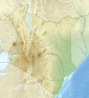 Mount Ngiro Location in Kenya | |
| Highest point | |
| Elevation | 2,848 m (9,344 ft) [1][2] |
| Prominence | 1,501 m (4,925 ft) [1] |
| Listing | Ultra |
| Coordinates | 02°11′30″N 36°48′57″E / 2.19167°N 36.81583°ECoordinates: 02°11′30″N 36°48′57″E / 2.19167°N 36.81583°E [1] |
| Geography | |
| Location | Kenya |
| Parent range | Ndoto Range |
Mount Ng'iro is a mountain in the north of Kenya overlooking the Suguta Valley, part of the Great Rift Valley, to the west. The mountain is surrounded by desert, but is forested on its upper slopes.[3] It lies in the territory of the Samburu people. The Masula phratry of these people cultivate bees on the mountain, and as bee-keepers claim exclusive rights to the land and water.[4]
See also
References
- 1 2 3 Africa Ultra-Prominences Peaklist.org. Retrieved 2012-01-30.
- ↑ Crowther 1987, p. 143.
- ↑ Walking Jade Sea Journey.
- ↑ Spencer 204, p. 287.
Sources
- Crowther, Geoff (1987). East Africa: a travel survival kit. Lonely Planet Publications. ISBN 0-86442-005-6.
- Spencer, Paul (2004). The Samburu: A Study of Gerontocracy in a Nomadic Tribe. Routledge. ISBN 0-415-33005-X.
- "Walking Jade Sea Journey". Wild Horizons. Archived from the original on 2012-04-26. Retrieved 2011-12-29.
This article is issued from
Wikipedia.
The text is licensed under Creative Commons - Attribution - Sharealike.
Additional terms may apply for the media files.