Mount Kliment Ohridski

Mount Kliment Ohridski (Vrah Kliment Ohridski \'vr&h 'kli-ment 'o-hrid-ski\) is the highest ridge (1500m) in the Sofia University Mountains on Alexander Island, Antarctica. The feature extends 7 km in the northwest-southeast direction with partly ice-free southern slopes. Shaw Nunatak is located in Nichols Snowfield 4 km off the southeast extremity of Mount Kliment Ohridski.
Following field work in northern Alexander Island by a joint British-Bulgarian party during the summer of 1987-88, the peak was named for Clement of Ohrid in association with the St. Kliment Ohridski University of Sofia.
Location
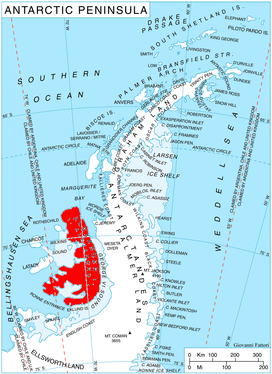
The peak is located at 69°31′04″S 71°23′30″W / 69.51778°S 71.39167°WCoordinates: 69°31′04″S 71°23′30″W / 69.51778°S 71.39167°W which is 8.7 km northeast of Mount Devol, 7.15 km east-southeast of Mount Wilbye and 9.12 km south of the summit of Balan Ridge (British mapping of the area from air photos taken by the 1947-48 US Expedition under Ronne).
Maps
- British Antarctic Territory. Scale 1:200000 topographic map No. 3127. DOS 610 - W 69 70. Tolworth, UK, 1971.
- Antarctic Digital Database (ADD). Scale 1:250000 topographic map of Antarctica. Scientific Committee on Antarctic Research (SCAR), 1993–2016.
References
- Mount Kliment Ohridski. SCAR Composite Gazetteer of Antarctica
- Bulgarian Antarctic Gazetteer. Antarctic Place-names Commission. (details in Bulgarian, basic data in English)
This article includes information from the Antarctic Place-names Commission of Bulgaria which is used with permission.