Sierra del Mico
| Sierra del Mico | |
|---|---|
| Montañas del Mico | |
 | |
| Highest point | |
| Peak | Cerro San Gil |
| Elevation | 1,267 m (4,157 ft) |
| Coordinates | 15°40′14″N 88°47′11″W / 15.670561°N 88.786311°WCoordinates: 15°40′14″N 88°47′11″W / 15.670561°N 88.786311°W |
| Dimensions | |
| Length | 60 km (37 mi) |
| Geography | |
 Sierra del Mico | |
| Country | Guatemala |
| State/Province | Izabal |
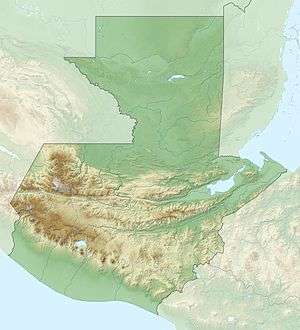
The Sierra del Mico (or Montañas del Mico) is a small mountain range northeast of the Sierra de las Minas, near Puerto Barrios. It is approximately 60 km long and drops eastwards into the Caribbean sea. Its highest peak is the Cerro San Gil with an elevation of 1,267 m.[1]
References
- ↑ Dr. Jonathan A. Campbell. "Ecogeographic Regions of Guatemala".
This article is issued from
Wikipedia.
The text is licensed under Creative Commons - Attribution - Sharealike.
Additional terms may apply for the media files.