Mindszentkálla
| Mindszentkálla | |
|---|---|
 Mindszentkálla Location of Mindszentkálla | |
| Coordinates: 46°52′30″N 17°33′11″E / 46.87505°N 17.55292°ECoordinates: 46°52′30″N 17°33′11″E / 46.87505°N 17.55292°E | |
| Country |
|
| County | Veszprém |
| Area | |
| • Total | 10.84 km2 (4.19 sq mi) |
| Population (2004) | |
| • Total | 327 |
| • Density | 30.16/km2 (78.1/sq mi) |
| Time zone | UTC+1 (CET) |
| • Summer (DST) | UTC+2 (CEST) |
| Postal code | 8282 |
| Area code(s) | 87 |
Mindszentkálla is a village in Veszprém county, Hungary, with a population of 327.
External links
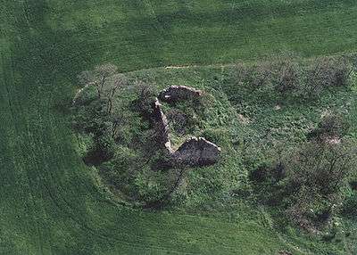
Temple ruins at Mindszentkálla
This article is issued from
Wikipedia.
The text is licensed under Creative Commons - Attribution - Sharealike.
Additional terms may apply for the media files.