Mékambo
| Mékambo | |
|---|---|
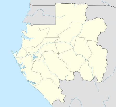 Mékambo Location in Gabon | |
| Coordinates: 1°1′N 13°56′E / 1.017°N 13.933°E | |
| Country |
|
| Province | Ogooué-Ivindo Province |
| Population | |
| • Total | 4,891 |
Mékambo is a small town in north-eastern Gabon on the banks of the Zadié river. It is located in the Ogooué-Ivindo province of Gabon and is the seat of the Zadié Department. It has received international press for recent outbreaks of Ebola hemorrhagic fever in 1994 and 1997.
It is served by Mékambo Airport.
Climate
| Climate data for Mékambo (1961–1990) | |||||||||||||
|---|---|---|---|---|---|---|---|---|---|---|---|---|---|
| Month | Jan | Feb | Mar | Apr | May | Jun | Jul | Aug | Sep | Oct | Nov | Dec | Year |
| Average high °C (°F) | 29.3 (84.7) |
30.3 (86.5) |
30.6 (87.1) |
30.8 (87.4) |
30.0 (86) |
28.3 (82.9) |
26.7 (80.1) |
27.2 (81) |
28.7 (83.7) |
29.3 (84.7) |
29.0 (84.2) |
30.0 (86) |
29.2 (84.6) |
| Daily mean °C (°F) | 23.8 (74.8) |
24.4 (75.9) |
24.8 (76.6) |
25.0 (77) |
24.7 (76.5) |
23.4 (74.1) |
22.1 (71.8) |
22.5 (72.5) |
23.7 (74.7) |
24.2 (75.6) |
23.9 (75) |
24.6 (76.3) |
23.9 (75) |
| Average low °C (°F) | 18.3 (64.9) |
18.4 (65.1) |
18.9 (66) |
19.2 (66.6) |
19.3 (66.7) |
18.5 (65.3) |
17.4 (63.3) |
17.8 (64) |
18.6 (65.5) |
19.0 (66.2) |
18.7 (65.7) |
19.2 (66.6) |
18.6 (65.5) |
| Average precipitation mm (inches) | 69.4 (2.732) |
88.5 (3.484) |
166.3 (6.547) |
167.7 (6.602) |
173.6 (6.835) |
80.2 (3.157) |
25.9 (1.02) |
45.1 (1.776) |
183.2 (7.213) |
294.8 (11.606) |
200.5 (7.894) |
88.6 (3.488) |
1,583.8 (62.354) |
| Average precipitation days | 6.7 | 8.5 | 13.4 | 13.4 | 13.7 | 7.8 | 3.5 | 5.0 | 14.3 | 18.5 | 15.9 | 8.1 | 128.8 |
| Average relative humidity (%) | 81 | 79 | 79 | 79 | 80 | 84 | 85 | 83 | 82 | 81 | 82 | 83 | 82 |
| Source: NOAA[1] | |||||||||||||
Minerals
Iron ore deposits are found in the vicinity.
References
- ↑ "Mkambo Climate Normals 1961–1990". National Oceanic and Atmospheric Administration. Retrieved 6 November 2016.
Coordinates: 1°01′N 13°56′E / 1.017°N 13.933°E
This article is issued from
Wikipedia.
The text is licensed under Creative Commons - Attribution - Sharealike.
Additional terms may apply for the media files.