Manuel Monge Municipality
| Manuel Monge Municipality Municipio Manuel Monge | ||
|---|---|---|
| Municipality | ||
| ||
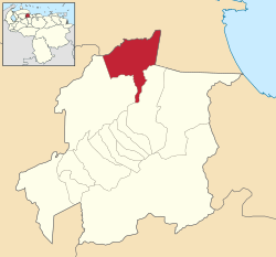 Location in Yaracuy | ||
.svg.png) Manuel Monge Municipality Location in Venezuela | ||
| Coordinates: 10°35′49″N 68°40′22″W / 10.5969°N 68.6728°WCoordinates: 10°35′49″N 68°40′22″W / 10.5969°N 68.6728°W | ||
| Country |
| |
| State | Yaracuy | |
| Area | ||
| • Total | 474 km2 (183 sq mi) | |
| Population (2001) | ||
| • Total | 10,600 | |
| • Density | 22/km2 (58/sq mi) | |
| Time zone | UTC−04:00 (VET) | |
| Website | Official website | |

Manuel Monge is one of the 14 municipalities of the state of Yaracuy, Venezuela. The municipality is located in northern Yaracuy, occupying an area of 474 km ² with a population of about 10,600 inhabitants. The capital lies at Yumare.
Like most municipalities in Yaracuy State, its economy is based on agriculture, producing oranges, sugar cane, corn and banana and also significant amounts of celery, taro and sorghum. The livestock sector is notable for the production of cow's milk.
External links
This article is issued from
Wikipedia.
The text is licensed under Creative Commons - Attribution - Sharealike.
Additional terms may apply for the media files.