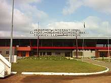
M'Vengue El Hadj Omar Bongo Ondimba International Airport
| M'Vengue El Hadj Omar Bongo Ondimba International Airport | |||||||||||
|---|---|---|---|---|---|---|---|---|---|---|---|
 | |||||||||||
| Summary | |||||||||||
| Airport type | Civil/Military | ||||||||||
| Serves | Franceville | ||||||||||
| Location | M'Vengue, Gabon | ||||||||||
| Elevation AMSL | 1,450 ft / 442 m | ||||||||||
| Coordinates | 01°39′22″S 13°26′17″E / 1.65611°S 13.43806°ECoordinates: 01°39′22″S 13°26′17″E / 1.65611°S 13.43806°E | ||||||||||
| Map | |||||||||||
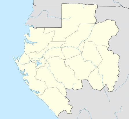 MVB Location within Gabon | |||||||||||
| Runways | |||||||||||
| |||||||||||
M'Vengue El Hadj Omar Bongo Ondimba International Airport (IATA: MVB, ICAO: FOON) is an airport serving the city of Franceville, in Haut-Ogooué Province, Gabon. The airport is 16 kilometres (9.9 mi) west of the city, near the village of M'Vengue.
The Franceville VOR-DME (Ident: FRV) is located on the field.[3]
See also


- List of airports in Gabon
- Transport in Gabon
References
- ↑ Google Maps
- ↑ Airport information for MVB at Great Circle Mapper.
- ↑ "SkyVector: Flight Planning / Aeronautical Charts". skyvector.com. Retrieved 2018-08-20.
External links
This article is issued from
Wikipedia.
The text is licensed under Creative Commons - Attribution - Sharealike.
Additional terms may apply for the media files.