Lettstädter Höhe
| Lettstädter Höhe | |
|---|---|
 On the Lettstädter Höhe | |
| Highest point | |
| Elevation | 966 m above sea level (NHN) (3,169 ft) |
| Coordinates | 48°26′03″N 8°15′20″E / 48.43417°N 8.25556°ECoordinates: 48°26′03″N 8°15′20″E / 48.43417°N 8.25556°E |
| Geography | |
 Lettstädter Höhe | |
| Parent range | Black Forest |
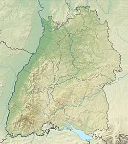
The Lettstädter Höhe is a mountain, 966 metres high, in the Central Black Forest in Germany, southwest of Kniebis.
The Lettstädter Höhe lies in a walking region on the Westweg trail from Pforzheim to Basle on the seventh stage between the Alexanderschanze and the Bergbauernhof Hark.
This article is issued from
Wikipedia.
The text is licensed under Creative Commons - Attribution - Sharealike.
Additional terms may apply for the media files.