Roc d'Enfer
| Roc d'Enfer | |
|---|---|
 | |
| Highest point | |
| Elevation | 2,244 m (7,362 ft) |
| Prominence | 1,081 m (3,547 ft) [1] |
| Parent peak | Dents du Midi |
| Coordinates | 46°11′22″N 06°36′37″E / 46.18944°N 6.61028°ECoordinates: 46°11′22″N 06°36′37″E / 46.18944°N 6.61028°E |
| Geography | |
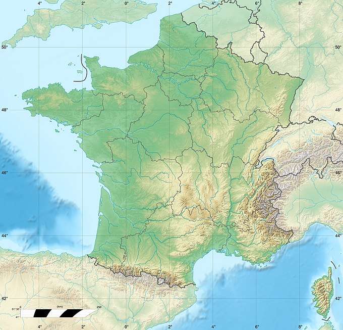 Roc d'Enfer Location in France | |
| Location | Haute-Savoie, France |
| Parent range | Chablais Alps |
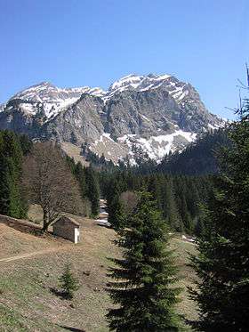
The Roc d'Enfer (2,244 m) is a mountain of the Chablais Alps, located west of Morzine in the French department of Haute-Savoie. It lies 20 km south of Lake Geneva.
References
External links
![]()
This article is issued from
Wikipedia.
The text is licensed under Creative Commons - Attribution - Sharealike.
Additional terms may apply for the media files.