Le Râteau
| Le Râteau | |
|---|---|
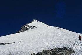 The southern face of Le Râteau | |
| Highest point | |
| Elevation | 3,809 m (12,497 ft) |
| Coordinates | 45°0′2″N 6°17′1.1″E / 45.00056°N 6.283639°ECoordinates: 45°0′2″N 6°17′1.1″E / 45.00056°N 6.283639°E |
| Naming | |
| Translation | The Rake (French) |
| Geography | |
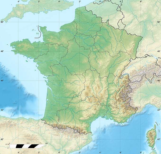 Le Râteau Location of Le Râteau in France | |
| Location | Hautes-Alpes, France |
| Parent range | Massif des Écrins, French Alps |
Le Râteau is a mountain in the French Alps. Located in the Massif des Écrins, the mountain is 3,809 metres (12,497 ft) tall.
The mountain overlooks the valley of the Romanche river and the village of La Grave to the north. The summit is very close to Meije, which is separated by a ridge.
Le Râteau has the appearance of a rake or a comb with several teeth; the English translation of le râteau is "the rake". The mountain has two distinct peaks at its ends.
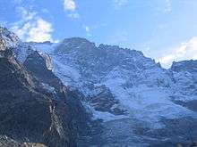
North face of le Râteau (September 2007)
References
- Labande, François (1995), Guide du Haut-Dauphiné, Groupe de Haute Montagne
This article is issued from
Wikipedia.
The text is licensed under Creative Commons - Attribution - Sharealike.
Additional terms may apply for the media files.