Langatabiki
| Langatabbetje Langatabiki | |
|---|---|
| Village | |
 Langatabbetje | |
| Coordinates: 5°0′5″N 54°26′31″W / 5.00139°N 54.44194°WCoordinates: 5°0′5″N 54°26′31″W / 5.00139°N 54.44194°W | |
| Country |
|
| District | Sipaliwini District |
| Resort | Tapanahony |
| Time zone | UTC-3 (AST) |
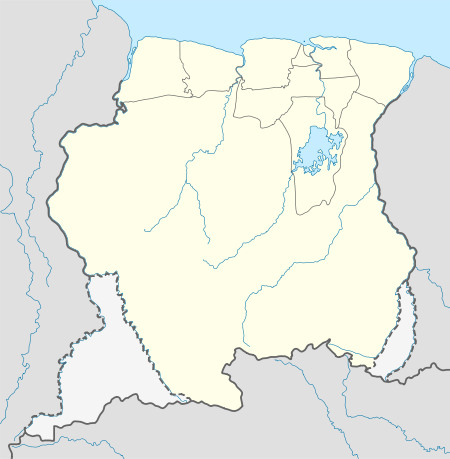
Langatabiki (Dutch: Langatabbetje) is a Paramacca village in the Sipaliwini District of Suriname. Langatabiki is the residence of the granman of the Paramaccan people.
Education
Langatabiki is home to the granman Cornelis Forster primary school.
Energy
Like most Maroon villages in the interior, Langatabiki relied on diesel generators for electricity until 2016. Although the fuel for the generators is provided free of charge by the Surinamese government, there was only enough available to provide electricity for a few hours per day, usually from 6 p.m. until midnight. In March 2016, the first phase of a solar power network opened in Langatabiki, aiming to provide electricity to the village for 24 hours per day.[1]
Healthcare
Langatabiki is home to a Medische Zending healthcare centre.
Transportation
By road
Langatabiki is linked by road to Moengo, from where there is access to the East-West Link.
By air
Langatabiki is served by Langatabbetje Airstrip, offering Caricom Airways scheduled services from Paramaribo.
By water
Villages on the Marowijne, Tapanahony and Lawa rivers are reachable by dugout canoe taxis, which regularly travel the rivers. The village of Apatou in French Guiana lies about 20 kilometres (12 mi) downstream the Marowijne River.
References
- ↑ Orban, Gilliamo (9 March 2016). "Langatabiki omarmt zonne-energie". de Ware Tijd. Retrieved 16 April 2016.