La Condamine
| La Condamine | |
|---|---|
| Ward of Monaco | |
 | |
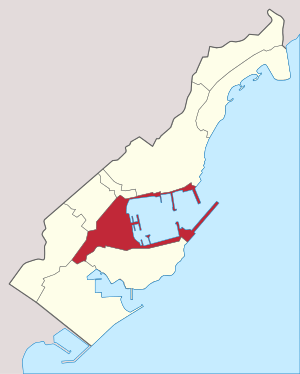 Location in Monaco | |
| Coordinates: 43°44′4″N 7°25′15″E / 43.73444°N 7.42083°ECoordinates: 43°44′4″N 7°25′15″E / 43.73444°N 7.42083°E | |
| Area | |
| • Land | 0.295843 km2 (0.114226 sq mi) |
| Population (2008) | |
| • Total | 3,694 |
| • Density | 12,502/km2 (32,380/sq mi) |
La Condamine is the central Ward in the Principality of Monaco. Its landmarks include Port Hercules, the Rainier III Nautical Stadium, and the Princess Antoinette Park.
Overview
Condamine dates from the Middle Ages, and means cultivable land.
References
External links
| Traditional Quartiers 1 |  | |
|---|---|---|
| Current Wards 2 | ||
| ||
This article is issued from
Wikipedia.
The text is licensed under Creative Commons - Attribution - Sharealike.
Additional terms may apply for the media files.