Krehberg
| Krehberg | |
|---|---|
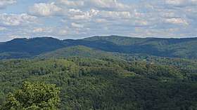 Krehberg, seen from Auerbach Castle | |
| Highest point | |
| Elevation | 576 m (1,890 ft) |
| Prominence | 160 metres (520 ft) |
| Coordinates | 49°41′03″N 8°43′50″E / 49.68417°N 8.73056°ECoordinates: 49°41′03″N 8°43′50″E / 49.68417°N 8.73056°E |
| Geography | |
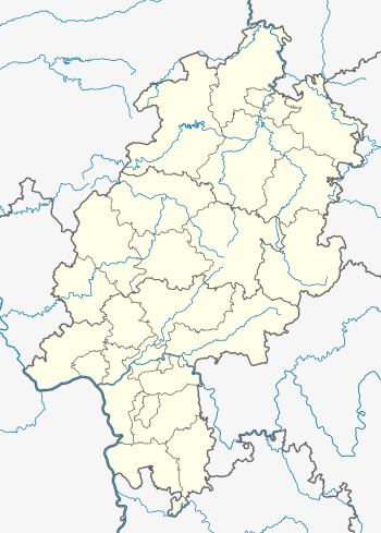 Krehberg The location within Hesse | |
| Location | Hesse, Germany |
| Parent range | Odenwald |
The Krehberg (German pronunciation: [ˈkʁeːbɛɐ̯k]) is the name of a 576-metre (1,890 ft) high hill in the Odenwald, 10 kilometres (6.2 mi) west of Lindenfels.
On the Krehberg there is a transmission tower for FM, TV and directional radio services, consisting of a lattice tower with a guyed mast on the top.
This article is issued from
Wikipedia.
The text is licensed under Creative Commons - Attribution - Sharealike.
Additional terms may apply for the media files.