Královo Pole
Coordinates: 49°13′30″N 16°35′22″E / 49.22500°N 16.58944°E
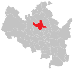
Královo Pole (in English „Land or Field of the King”) is a northern district of Brno in the Czech Republic.
History
.JPG)
The first written record of Královo Pole comes from the year 1240. At this time, a village was located here – and like all villages in the country – belonged to the king.
Rapid development took place during the second half of the 19th century. It was started by the building of a sugar mill, followed by other industries. Largest improvement was the building of Královopolská. Between 1905 and 1919 it was an independent city. After the World War I it became a part of Brno.
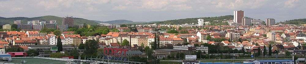
After World War II there were huge changes in the panorama of the district. Large microdistricts arose in the Northern part of it, mainly in the 1970s.
Famous buildings
- Old monastery of Carthusians – today belongs to and has been reconstructed by the Faculty of Information Technology, University of Technology Brno.
- IT park of the city and several university grounds
Transportation
There are several tram and coach lines to Královo Pole from the city centre. A tour usually takes 15–20 minutes. A railway station and a bus terminal is located there as well. There is a tunnel under the district which provides connection to the ring around the city.
External links
| Wikimedia Commons has media related to Královo Pole. |