Guru Tegh Bahadur Nagar railway station
गुरू तेग बहादुर नगर | |||||||||||
|---|---|---|---|---|---|---|---|---|---|---|---|
| Mumbai Suburban Railway station | |||||||||||
 | |||||||||||
| Coordinates | 19°02′16″N 72°51′51″E / 19.037728°N 72.864107°ECoordinates: 19°02′16″N 72°51′51″E / 19.037728°N 72.864107°E | ||||||||||
| Elevation | 5.540 metres (18.18 ft) | ||||||||||
| Owned by | Indian Railways | ||||||||||
| Line(s) | Harbour Line | ||||||||||
| Platforms | 1 | ||||||||||
| Tracks | 2 | ||||||||||
| Construction | |||||||||||
| Structure type | Standard on-ground station | ||||||||||
| Platform levels | On ground | ||||||||||
| Other information | |||||||||||
| Fare zone | Central Railways | ||||||||||
| Electrified | Yes | ||||||||||
| Services | |||||||||||
| |||||||||||
| |||||||||||
| Location | |||||||||||
 GTB Nagar Location within Mumbai | |||||||||||
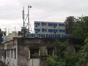
Guru Tegh Bahadur Nagar, is a railway station on the Harbour Line of the Mumbai Suburban Railway. It is situated near the King's Circle and Wadala/Sion local railway stations.
The station was originally called Koliwada railway station. It was renamed Guru Tegh Bahadur Nagar railway station in 1977.[1]
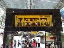
GTB - stationboard
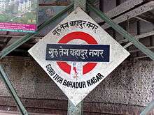
GTB - platformboard
References
- ↑ "As recent demands in Mumbai show, battles over station names never seem to end". The Economic Times. Retrieved 17 March 2017.
This article is issued from
Wikipedia.
The text is licensed under Creative Commons - Attribution - Sharealike.
Additional terms may apply for the media files.