Kmehlener Berge
| Kmehlener Berge | |
|---|---|
 | |
| Highest point | |
| Peak | Huttenberg |
| Elevation | 212.1 m above NHN |
| Geography | |
| State |
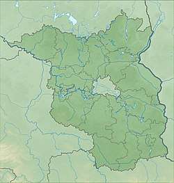
Oberspreewald-Lausitz, Brandenburg, |
| Range coordinates | 51°22′01″N 13°43′59″E / 51.367°N 13.733°ECoordinates: 51°22′01″N 13°43′59″E / 51.367°N 13.733°E |
The Kmehlener Berge are a group of low hills in the south of the German state of Brandenburg within the county of Oberspreewald-Lausitz near the town of Ortrand and the village of Großkmehlen on the state border with Saxony. Their highest point, at 212.1 m above sea level (NHN),[1] is the on the Huttenberg which lies entirely within Saxony. The Kutschenberg, about 1,000 metres northeast, rises to a height of 201 m and is the highest summit and second highest point in the state of Brandenburg.
This article is issued from
Wikipedia.
The text is licensed under Creative Commons - Attribution - Sharealike.
Additional terms may apply for the media files.