Kiswarani Q'asa
| Kiswarani Q'asa | |
|---|---|
 Kiswarani Q'asa Peru | |
| Highest point | |
| Elevation | 4,862.8 m (15,954 ft) [1] |
| Coordinates | 14°45′57″S 71°49′30″W / 14.76583°S 71.82500°WCoordinates: 14°45′57″S 71°49′30″W / 14.76583°S 71.82500°W |
| Geography | |
| Location | Peru, Cusco Region, Espinar Province |
| Parent range | Andes |
Kiswarani Q'asa (Aymara kiswara Buddleja incana,[2] -ni a suffix to indicate ownership, kiswarani "the one with kiswara", Quechua q'asa mountain pass,[3][4] "Kiswarani mountain pass" or "mountain pass with kiswara", hispanicized spelling Quisuaraniccasa) is a mountain in the Andes of Peru. Its summit reaches about 4,862.8 m (15,954 ft) above sea level. The mountain is located in the Cusco Region, Espinar Province, Coporaque District.
Kiswarani Q'asa lies on a long ridge which extents from west to east along the river Kirwamayu (Querhuamayo) south of it. Kiswarani (Quishuarani) is the name of a stream which flows from the ridge down to Kirwamayu. The peaks east of Kiswarani Q'asa are named Wamanwachana (Huamanhuachana) and Kirwa (Querhua).[5]
References
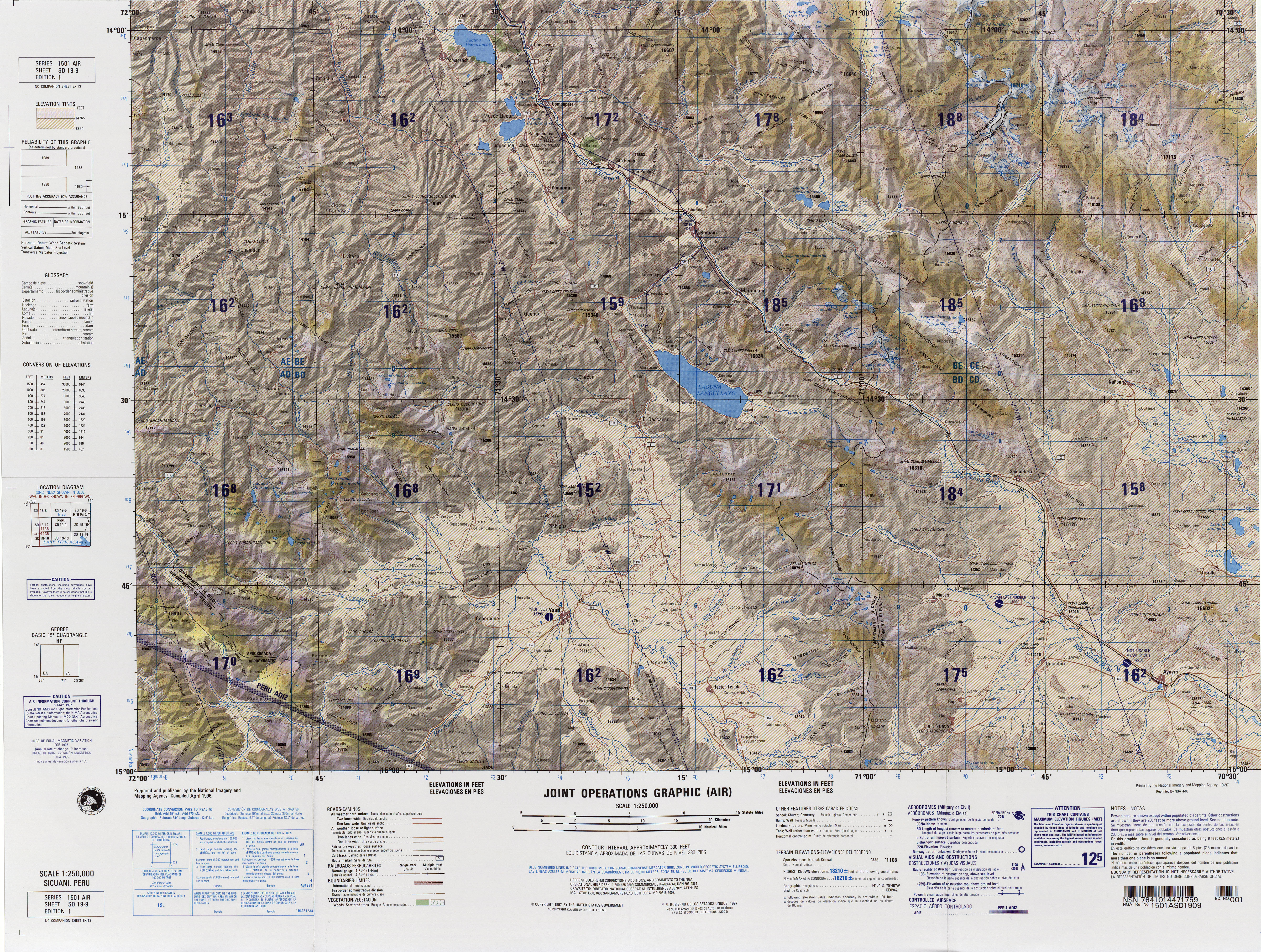
- ↑ "South America Maps". Joint Operations Graphic. Retrieved July 1, 2014.
- ↑ Yatiqirinaka Aru Pirwa, Lima, 2005 (Aymara-Spanish dictionary)
- ↑ Diccionario Quechua - Español - Quechua, Academía Mayor de la Lengua Quechua, Gobierno Regional Cusco, Cusco 2005 (Quechua-Spanish dictionary)
- ↑ Teofilo Laime Ajacopa, Diccionario Bilingüe Iskay simipi yuyayk'ancha, La Paz, 2007 (Quechua-Spanish dictionary)
- ↑ escale.minedu.gob.pe - UGEL map of the Espinar Province (Cusco Region)