Kilpeck
Kilpeck
| |
|---|---|
Feb2006.jpg) Church of St Mary and St David, Kilpeck is an outstanding example of Norman architecture. | |
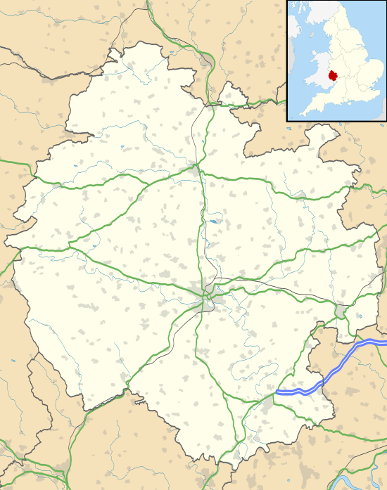 Kilpeck Kilpeck shown within Herefordshire | |
| Population | 215 (2011)[1] |
| OS grid reference | SO444304 |
| Unitary authority | |
| Ceremonial county | |
| Region | |
| Country | England |
| Sovereign state | United Kingdom |
| Post town | HEREFORD |
| Postcode district | HR2 |
| Dialling code | 01981 |
| Police | West Mercia |
| Fire | Hereford and Worcester |
| Ambulance | West Midlands |
| EU Parliament | West Midlands |
| UK Parliament | |
Kilpeck is a small village in Herefordshire, England. It is about nine miles (14 km) southwest of Hereford, just south of the A465 road and Welsh Marches Line to Abergavenny, and about five miles (8 km) from the border with Wales.
The village is renowned for its small but outstanding Norman (Romanesque) church, SS Mary and David's, but also has the earthworks of a Norman motte and bailey castle that is no longer standing.
History
Until the 9th century, when it was taken over by Mercia, the area around Kilpeck was within the Welsh kingdom of Ergyng. After the Norman conquest, the area became known as Archenfield and was governed as part of the Welsh Marches. It became part of Herefordshire, and England, in the 16th century, although the use of Welsh in the area remained strong until the 19th century.[2] The English name for the village derives from the Welsh name, Llanddewi Kil Peddeg,[3] with Llanddewi meaning "church of St. David" and Kil Peddeg probably meaning the "cell of Pedic", an otherwise unknown local early Christian hermit.[4]
In the Domesday Book of 1086, Kilpeck (entered as Chipeete) was given by William the Conqueror to William Fitz Norman de la Mare, son of Norman de la Mare. The clan de la Mare is one of the oldest in Normandy and is descended from Ragnvald Eysteinsson, earl of Møre and Romsdal. According to the Domesday survey, Kilpeck had "3 ploughs, 2 serfs and 4 oxmen and there are 57 men with 19 ploughs." There are mentions of a church on the site possibly from as early as the 7th century. There are vestiges of an enclosure, 200 yds (183 metres) by 300 yds (274 m) in the field, defining an Anglo-Saxon village.
Landmarks
Feb2006.jpg)
The St Mary and St David's Church was built around 1140. It consists of a nave, chancel and semicircular apse. It is remarkable for its wealth (and fine preservation) of Norman stone carvings, both inside and out,[5] all original both in form and position and incorporating many corbels with representations of human faces, hares, fish, fowl, stags etc. Eighty-five of 91 corbels survive, an extraordinarily high percentage.
West of the church lies a ruined motte-and-bailey and earthworksh. The castle is thought to have been first built around 1090 as the administrative centre of Archenfield. A few walls of the 12th or 13th-century keep still stand on top of the motte; these are not well preserved. A fireplace and chimney flues are visible and two sections of standing castle walls.
A little over a mile to the north is the surviving motte of another castle, at Didley Court Farm.
References
| Wikimedia Commons has media related to Kilpeck. |
- ↑ "Civil Parish population 2011". Retrieved 31 October 2015.
- ↑ Colin Lewis, Herefordshire – the Welsh Connection, 2006, ISBN 0-86381-958-3
- ↑ Welsh place names in Herefordshire
- ↑ James Bailey, The Parish Church of St Mary and St David at Kilpeck, 2000
- ↑ Stone carvings, both inside and out.
External links
- Davis, Philip. "Kilpeck Castle". The Gatehouse: The Comprehensive Gazetteer of the Medieval Fortifications and Castles of England and Wales. A bibliography for the castle.
- Renn, D. F. "Kilpeck Castle and Church". Castles of Wales.
- "Kilpeck Castle". Castles of Herefordshire. Archaeological survey.
- Population figures (PDF)