Khunapakan
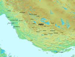
Khunapakan was the name of a medieval district in the Sasanian province of Pars. It is mentioned as a district of the administrative division of Ardashir-Khwarrah in the Madigan-i Hezar Dadistan.
Sources
- Miri, Negin (2009). Historical Geography of Fars during the Sasanian Period (PDF). Sasanika. University of Sydney. pp. 1–65.
This article is issued from
Wikipedia.
The text is licensed under Creative Commons - Attribution - Sharealike.
Additional terms may apply for the media files.