Khashm el Girba Airport
| Khashm el Girba Airstrip | |||||||||||
|---|---|---|---|---|---|---|---|---|---|---|---|
| Summary | |||||||||||
| Airport type | Public | ||||||||||
| Serves | Khashm el Girba | ||||||||||
| Elevation AMSL | 1,560 ft / 475 m | ||||||||||
| Coordinates | 14°55′30″N 35°52′40″E / 14.92500°N 35.87778°ECoordinates: 14°55′30″N 35°52′40″E / 14.92500°N 35.87778°E | ||||||||||
| Map | |||||||||||
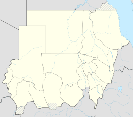 GBU Location of the airport in Sudan | |||||||||||
| Runways | |||||||||||
| |||||||||||
|
Source: Google Maps[1] | |||||||||||
Khashm el Girba Airport (IATA: GBU , ICAO: HSKG ) is an airport serving the town of Khashm el Girba and the Khashm el Girba Dam in Sudan.
See also

References
External links
This article is issued from
Wikipedia.
The text is licensed under Creative Commons - Attribution - Sharealike.
Additional terms may apply for the media files.