Kettle Valley
| Kettle Valley | |
|---|---|
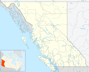
 Kettle Valley Location of Kettle Valley in British Columbia | |
| Coordinates: 49°03′00″N 118°56′00″W / 49.05000°N 118.93333°WCoordinates: 49°03′00″N 118°56′00″W / 49.05000°N 118.93333°W | |
| Country |
|
| Province |
|
| Area code(s) | 250, 778 |
Kettle Valley is a community in the Boundary Country region of the Interior of British Columbia. It sits on the north side of the Kettle River, just southwest of Greenwood.[1]
See also
References
This article is issued from
Wikipedia.
The text is licensed under Creative Commons - Attribution - Sharealike.
Additional terms may apply for the media files.