Kawara, Fukuoka
| Kawara 香春町 | ||
|---|---|---|
| Town | ||
| ||
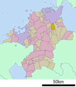 Location of Kawara in Fukuoka Prefecture | ||
 Kawara Location in Japan | ||
| Coordinates: 33°40′N 130°51′E / 33.667°N 130.850°ECoordinates: 33°40′N 130°51′E / 33.667°N 130.850°E | ||
| Country | Japan | |
| Region | Kyushu | |
| Prefecture | Fukuoka Prefecture | |
| District | Tagawa | |
| Area | ||
| • Total | 44.56 km2 (17.20 sq mi) | |
| Population (2016) | ||
| • Total | 10,657 | |
| • Density | 240/km2 (620/sq mi) | |
| Symbols | ||
| • Tree | Ginkgo biloba | |
| • Flower | Prunus mume | |
| • Bird | Japanese bush warbler | |
| Time zone | UTC+9 (JST) | |
| Website |
www | |

Kawara (香春町 Kawara-machi) is a town located in Tagawa District, Fukuoka Prefecture, Japan.
As of 2016, the town has an estimated population of 10,657 and a density of 240 persons per km². The total area is 44.56 km².
External links

- Kawara official website (in Japanese)
This article is issued from
Wikipedia.
The text is licensed under Creative Commons - Attribution - Sharealike.
Additional terms may apply for the media files.