Calapo
| Calapo | |
|---|---|
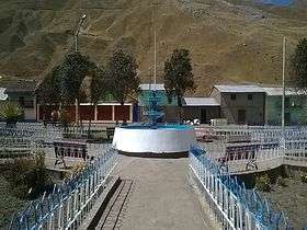 The main square of Pachapaqui at the foot of Calapo | |
| Highest point | |
| Elevation | 4,800 m (15,700 ft) [1] |
| Coordinates | 09°57′49″S 77°04′23″W / 9.96361°S 77.07306°WCoordinates: 09°57′49″S 77°04′23″W / 9.96361°S 77.07306°W |
| Geography | |
 Calapo Peru | |
| Location | Peru, Ancash Region |
| Parent range | Andes, Huallanca |
Calapo or Kallapu (Aymara for stairs close to the walls, step of the stairs in a mine; buttress, wood to prop up,[2][3] hispanicized spelling Calapo) is a mountain in the Huallanca mountain range in the Andes of Peru which reaches an altitude of approximately 4,800 m (15,700 ft). It is located in the Ancash Region, Bolognesi Province, Aquia District, east of the town of Pachapaqui.[1]
References
This article is issued from
Wikipedia.
The text is licensed under Creative Commons - Attribution - Sharealike.
Additional terms may apply for the media files.