Kalajoki Airfield
| Kalajoki Airfield Kalajoen lentokenttä | |||||||||||
|---|---|---|---|---|---|---|---|---|---|---|---|
| Summary | |||||||||||
| Airport type | Public | ||||||||||
| Operator | City of Kalajoki | ||||||||||
| Location | Kalajoki, Finland | ||||||||||
| Elevation AMSL | 43 ft / 13 m | ||||||||||
| Coordinates | 64°13′43″N 023°49′35″E / 64.22861°N 23.82639°ECoordinates: 64°13′43″N 023°49′35″E / 64.22861°N 23.82639°E | ||||||||||
| Map | |||||||||||
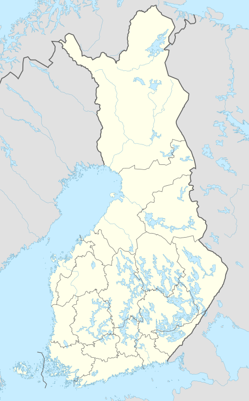 EFKO Location within Finland | |||||||||||
| Runways | |||||||||||
| |||||||||||
|
Source: VFR Finland[1] | |||||||||||
Kalajoki Airfield (ICAO: EFKO) is an airfield in Kalajoki, Finland, about 3 nautical miles (6 km; 3 mi) west-southwest of Kalajoki town centre.[1]
See also
References
- 1 2 "Kalajoki, Finland – EFKO". VFR Suomi / Finland. Vantaa: Finavia. 15 August 2011. Archived from the original on 21 April 2012. Retrieved 31 August 2011.
External links
This article is issued from
Wikipedia.
The text is licensed under Creative Commons - Attribution - Sharealike.
Additional terms may apply for the media files.