Kajal (village)
| Kajal | |
| Village | |
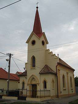 lutheran church | |
| Country | Slovakia |
|---|---|
| Region | Trnava |
| District | Galanta |
| Elevation | 117 m (384 ft) |
| Coordinates | 48°11′04″N 17°47′14″E / 48.18444°N 17.78722°ECoordinates: 48°11′04″N 17°47′14″E / 48.18444°N 17.78722°E |
| Area | 13.82 km2 (5 sq mi) |
| Population | 1,512 (2011) |
| Density | 109/km2 (282/sq mi) |
| First mentioned | 1297 |
| Mayor | Tibor Kosztolányi |
| Postal code | 925 92 |
| Area code | 0 31 |
| Car plate | GA |
  Location of Kajal in Slovakia | |
 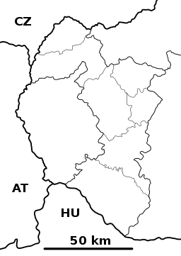 Location of Kajal in the Trnava Region | |
| Wikimedia Commons: Kajal | |
| Statistics: MOŠ/MIS | |
| Website: http://www.kajal.sk | |
Kajal (Hungarian: Nemeskajal) is a village and municipality in Galanta District of the Trnava Region of south-west Slovakia.
Geography
The municipality lies at an elevation of 121 metres and covers an area of 13.825 km². It has a population of about 1451 people.
History
In the 9th century, the territory of Kajal became part of the Kingdom of Hungary. In historical records the village was first mentioned in 1297. After the Austro-Hungarian army disintegrated in November 1918, Czechoslovak troops occupied the area, later acknowledged internationally by the Treaty of Trianon. Between 1938 and 1945 Kajal once more became part of Miklós Horthy's Hungary through the First Vienna Award. From 1945 until the Velvet Divorce, it was part of Czechoslovakia. Since then it has been part of Slovakia.
Genealogical resources
The records for genealogical research are available at the state archive "Statny Archiv in Bratislava, Nitra, Slovakia"
- Roman Catholic church records (births/marriages/deaths): 1691-1902 (parish A)
- Lutheran church records (births/marriages/deaths): 1786-1916 (parish B)
- Reformated church records (births/marriages/deaths): 1792-1896 (parish B)
See also
External links
- https://web.archive.org/web/20070513023228/http://www.statistics.sk/mosmis/eng/run.html
- Surnames of living people in Kajal