Kaikohe Hill
| Kaikohe Hill | |
|---|---|
| Tokareireia | |
 Kaikohe Hill | |
| Highest point | |
| Elevation | 282 m (925 ft) |
| Coordinates | 35°24′33″S 173°47′2″E / 35.40917°S 173.78389°ECoordinates: 35°24′33″S 173°47′2″E / 35.40917°S 173.78389°E |
| Geography | |
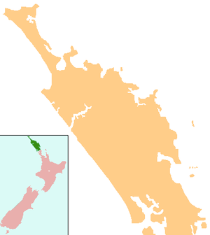
| Location | Kaikohe, New Zealand |
| Geology | |
| Volcanic arc/belt | Kaikohe-Bay of Islands |
Kaikohe Hill (also Tokareireia) is a 282 m high basaltic scoria cone, in the Kaikohe-Bay of Islands volcanic field in New Zealand. It is on the western edge of the town of Kaikohe.
References
External links
This article is issued from
Wikipedia.
The text is licensed under Creative Commons - Attribution - Sharealike.
Additional terms may apply for the media files.