Janq'u Q'awa (Melgar)
| Janq'u Q'awa | |
|---|---|
 Janq'u Q'awa Peru | |
| Highest point | |
| Elevation | 4,435.1 m (14,551 ft) [1] |
| Coordinates | 14°39′22″S 70°32′22″W / 14.65611°S 70.53944°WCoordinates: 14°39′22″S 70°32′22″W / 14.65611°S 70.53944°W |
| Geography | |
| Location | Peru, Puno Region, Melgar Province |
| Parent range | Andes |
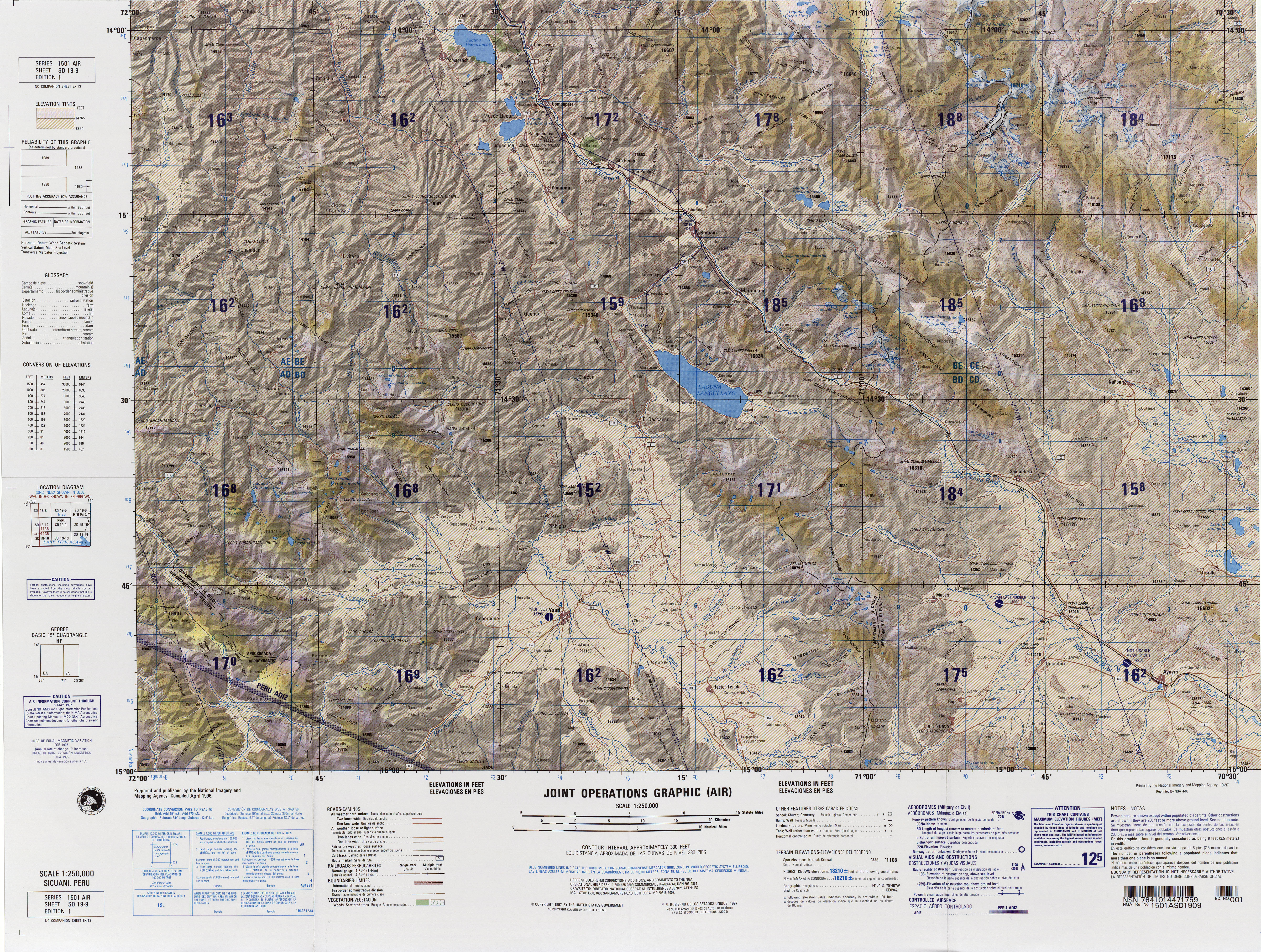
Janq'u Q'awa (Aymara janq'u white, q'awa little river, ditch, crevice, fissure, gap in the earth,[2][3] "white brook" or "white ravine", hispanicized spelling Ancoccahua) is a mountain in the Andes of Peru, about 4,435.1 metres (14,551 ft) high. It is situated in the Puno Region, Melgar Province, Orurillo District. Janq'u Q'awa lies southeast of the La Raya mountain range at the lake Janq'uquta, northwest of it.[4]
References
- ↑ "South America Maps". Joint Operations Graphic. Retrieved July 19, 2014.
- ↑ Radio San Gabriel, "Instituto Radiofonico de Promoción Aymara" (IRPA) 1993, Republicado por Instituto de las Lenguas y Literaturas Andinas-Amazónicas (ILLLA-A) 2011, Transcripción del Vocabulario de la Lengua Aymara, P. Ludovico Bertonio 1612 (Spanish-Aymara-Aymara-Spanish dictionary)
- ↑ "Diccionario Bilingüe, Castellano - Aymara, Para: Tercera Edición". Félix Layme Pairumani. Archived from the original on September 2, 2013. Retrieved July 19, 2014.
- ↑ escale.minedu.gob.pe - UGEL map of the Melgar Province (Puno Region)
This article is issued from
Wikipedia.
The text is licensed under Creative Commons - Attribution - Sharealike.
Additional terms may apply for the media files.