Jangpur
| Jangpur | |
|---|---|
| village | |
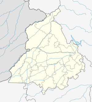
 Jangpur Location in Punjab, India  Jangpur Jangpur (India) | |
| Coordinates: 30°49′55″N 75°40′55″E / 30.832°N 75.682°ECoordinates: 30°49′55″N 75°40′55″E / 30.832°N 75.682°E | |
| Country |
|
| State | Punjab |
| District | Ludhiana |
| Languages | |
| • Official | Punjabi |
| Time zone | UTC+5:30 (IST) |
| PIN | 141101 |
| Telephone code | same as Ludhiana 0161 |
| Nearest city | Mullanpur/ Ludhiana/ Jagraon |
| Lok Sabha constituency | Dakha |
Jangpur is a Cheema village in Ludhiana District in Punjab, India. It has a population of approximately 2400 people, most of whom are engaged in agricultural work. The village is located approximately eighteen kilometres southwest of Ludhiana, and two kilometres from Grand Trunk Road.
Near Village
Dakha,Mullanpur, Rurka, Mohie, Hisowal, Raqba etc. so many other villages are close to Jangpur.
This article is issued from
Wikipedia.
The text is licensed under Creative Commons - Attribution - Sharealike.
Additional terms may apply for the media files.