Jabal Atherb
| Jabal Atherb | |
|---|---|
 Jabal Atherb | |
| Highest point | |
| Elevation | Around 1,900 metres (6,234 ft). |
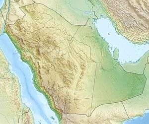
| Coordinates | 18°58′32″N 42°0′6″E / 18.97556°N 42.00167°ECoordinates: 18°58′32″N 42°0′6″E / 18.97556°N 42.00167°E |
| Geography | |
| Location | Saudi Arabia |
Jabal Atherb is a mountain in Bareq, Saudi Arabia. The mountain consist primarily of sedimentary rock of Jurassic, Cretaceous, and Tertiary origin.'[1]
Climate and agriculture
Jabal Atherb has the highest average rainfall of Saudi Arabia due to largely seasonal rain. Average rainfall can range from 300 millimetres (24 in) to over 500 millimetres (39 in) per year
References
- ↑ al-Bariqi, Mahmood Aal-Shobaily (2001). Al-Shariq: fi tarikh wa jughrāfīat bilād Bāriq. Maktabat al-Malik Fahd al-Wataniyah. p. 279. ISBN 9960399699.
This article is issued from
Wikipedia.
The text is licensed under Creative Commons - Attribution - Sharealike.
Additional terms may apply for the media files.