Hill of Stake
| Hill of Stake | |
|---|---|
 | |
| Highest point | |
| Elevation | 522 m (1,713 ft) |
| Listing | Marilyn |
| Coordinates | 55°49′N 4°46′W / 55.817°N 4.767°WCoordinates: 55°49′N 4°46′W / 55.817°N 4.767°W |
| Geography | |
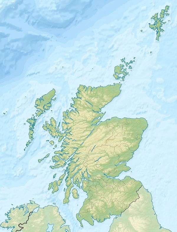 Hill of Stake Location in Scotland | |
| Location | North Ayrshire and Renfrewshire, Scotland |
| OS grid | NS273630 |
| Topo map | OS Landranger 63 |
Hill of Stake is a hill on the boundary between North Ayrshire and Renfrewshire, Scotland. It is 522 metres (1712 feet) high. It is one of the Marilyns of Lowland Scotland.
It is the highest point of the relatively low-lying county of Renfrewshire and indeed the entire Clyde Muirshiel Regional Park of which it is a part.
External links
This article is issued from
Wikipedia.
The text is licensed under Creative Commons - Attribution - Sharealike.
Additional terms may apply for the media files.