Hanko Airfield
| Hanko Airfield Hangon lentokenttä Hangö flygfält | |||||||||||
|---|---|---|---|---|---|---|---|---|---|---|---|
 | |||||||||||
| Summary | |||||||||||
| Operator | Hangon Lentokerho ry | ||||||||||
| Location | Hanko, Finland | ||||||||||
| Elevation AMSL | 20 ft / 6 m | ||||||||||
| Coordinates | 59°50′44″N 023°04′56″E / 59.84556°N 23.08222°ECoordinates: 59°50′44″N 023°04′56″E / 59.84556°N 23.08222°E | ||||||||||
| Website | hangonlentokerho.fi | ||||||||||
| Map | |||||||||||
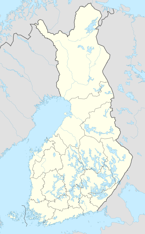 EFHN Location within Finland | |||||||||||
| Runways | |||||||||||
| |||||||||||
|
Source: VFR Finland[1] | |||||||||||
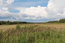
Hanko Airfield is the southernmost airfield in Finland. It is located in Hanko, about 8 kilometres (5 mi) east of Hanko city centre.[1]
See also
References
- 1 2 "Hanko, Finland – EFHN". VFR Suomi / Finland. Vantaa: Finavia. 18 November 2010. Archived from the original on 21 April 2012. Retrieved 27 August 2011.
External links
- Hangon Lentokerho ry (Hanko Flying Club) (in Finnish)
- VFR Suomi/Finland – Hanko Airfield
- Lentopaikat.net – Hanko Airfield (in Finnish)
This article is issued from
Wikipedia.
The text is licensed under Creative Commons - Attribution - Sharealike.
Additional terms may apply for the media files.