Kolyma Mountains
| Kolyma Mountains | |
|---|---|
 | |
| Highest point | |
| Peak | Omsukchan Ridge |
| Elevation | 1,962 m (6,437 ft) |
| Dimensions | |
| Length | 1,300 km (810 mi) |
| Geography | |
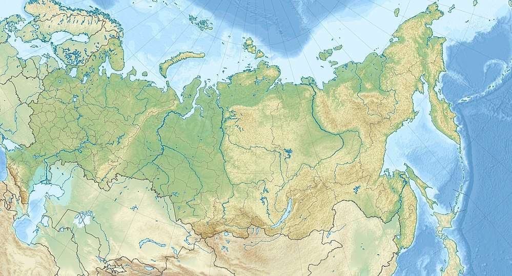 | |
| Country | Russia |
| Oblast/Krai | Magadan Oblast |
| Range coordinates | 63°N 159°E / 63°N 159°ECoordinates: 63°N 159°E / 63°N 159°E |
| Geology | |
| Age of rock | Jurassic, Triassic, Permian and Proterozoic |
| Type of rock | Granite, Gneiss, Schist, Siltstone, Sandstone |
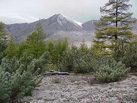
The Kolyma Mountains or Kolyma Upland (Russian: Колымское нагорье, tr. Kolymskoye Nagorye) is a mountain range in northeastern Siberia, lying mostly within the Magadan Oblast, along the shores of the Sea of Okhotsk in the Kolyma region.[1] It stretches 1,300 kilometers (810 mi) on a NW-SW alignment and consists of a series of plateaus and ridges punctuated by granite peaks that typically range between 1,500 to 1,800 meters (4,900 to 5,900 ft). The range's highest point is the Omsukchan Ridge at 1,962 meters (6,437 ft).[2]
References
- ↑ "Kolyma Upland". Encyclopædia Britannica. July 20, 1998.
- ↑ "Колымское нагорье" [Kolyma Highlands]. Great Soviet Encyclopedia (in Russian) (3rd ed.). 1969–1978.
This article is issued from
Wikipedia.
The text is licensed under Creative Commons - Attribution - Sharealike.
Additional terms may apply for the media files.