Gomal Pass
| Gomal Pass | |
|---|---|
| Gumal Pass[1] | |
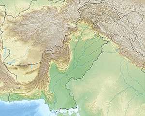 Location of Gomal Pass  Gomal Pass (FATA) | |
| Location | Afghanistan–Pakistan border |
| Range | Hindu Kush |
| Coordinates | 31°55′00″N 69°19′00″E / 31.9167°N 69.3167°ECoordinates: 31°55′00″N 69°19′00″E / 31.9167°N 69.3167°E |
Gomal Pass (Pashto: ګومل) is a mountain pass on the Durand Line border between Afghanistan and the southeastern portion of South Waziristan in Pakistan's Federally Administered Tribal Areas. It takes its name from the Gomal River[2] and is midway between the legendary Khyber Pass and the Bolan Pass. It connects Ghazni in Afghanistan with Tank and Dera Ismail Khan in Pakistan.[1]
See also
References
- 1 2 "Gumal Pass, Pakistan". Encyclopedia Britannica. Retrieved 28 March 2017.
- ↑ Wynbrandt, James. A Brief History of Pakistan. Infobase Publishing. p. 6. ISBN 9780816061846. Retrieved 28 March 2017.
This article is issued from
Wikipedia.
The text is licensed under Creative Commons - Attribution - Sharealike.
Additional terms may apply for the media files.