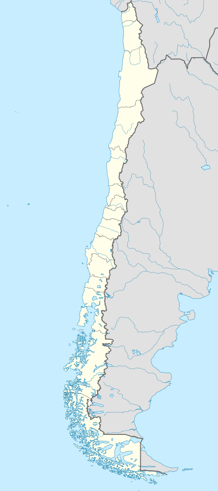
Guarello Island
| Native name: Isla Guarello | |
|---|---|
 Guarello Island | |
| Geography | |
| Coordinates | 50°23′S 75°20′W / 50.383°S 75.333°WCoordinates: 50°23′S 75°20′W / 50.383°S 75.333°W |
| Adjacent bodies of water | Pacific Ocean |
| Administration | |
| Region | Magallanes |
| Additional information | |
| NGA UFI=-883834 | |
Guarello Island (Spanish: Isla Guarello) is an island in Madre de Dios Archipelago in Magallanes Region. Guarello Island is in a limestone area that also includes Madre de Dios Island. The island has the world's southernmost limestone mine and it has reserves for 100 years, and 600,000 tons of limestone with a millesimal fineness of 96% of Calcium carbonate are extracted each year. Half of the production is used in the steel mills of Huachipato which also owns the mines.
See also
External links
- Islands of Chile @ United Nations Environment Programme
- World island information @ WorldIslandInfo.com
- South America Island High Points above 1000 meters
- United States Hydrographic Office, South America Pilot (1916)
This article is issued from
Wikipedia.
The text is licensed under Creative Commons - Attribution - Sharealike.
Additional terms may apply for the media files.